
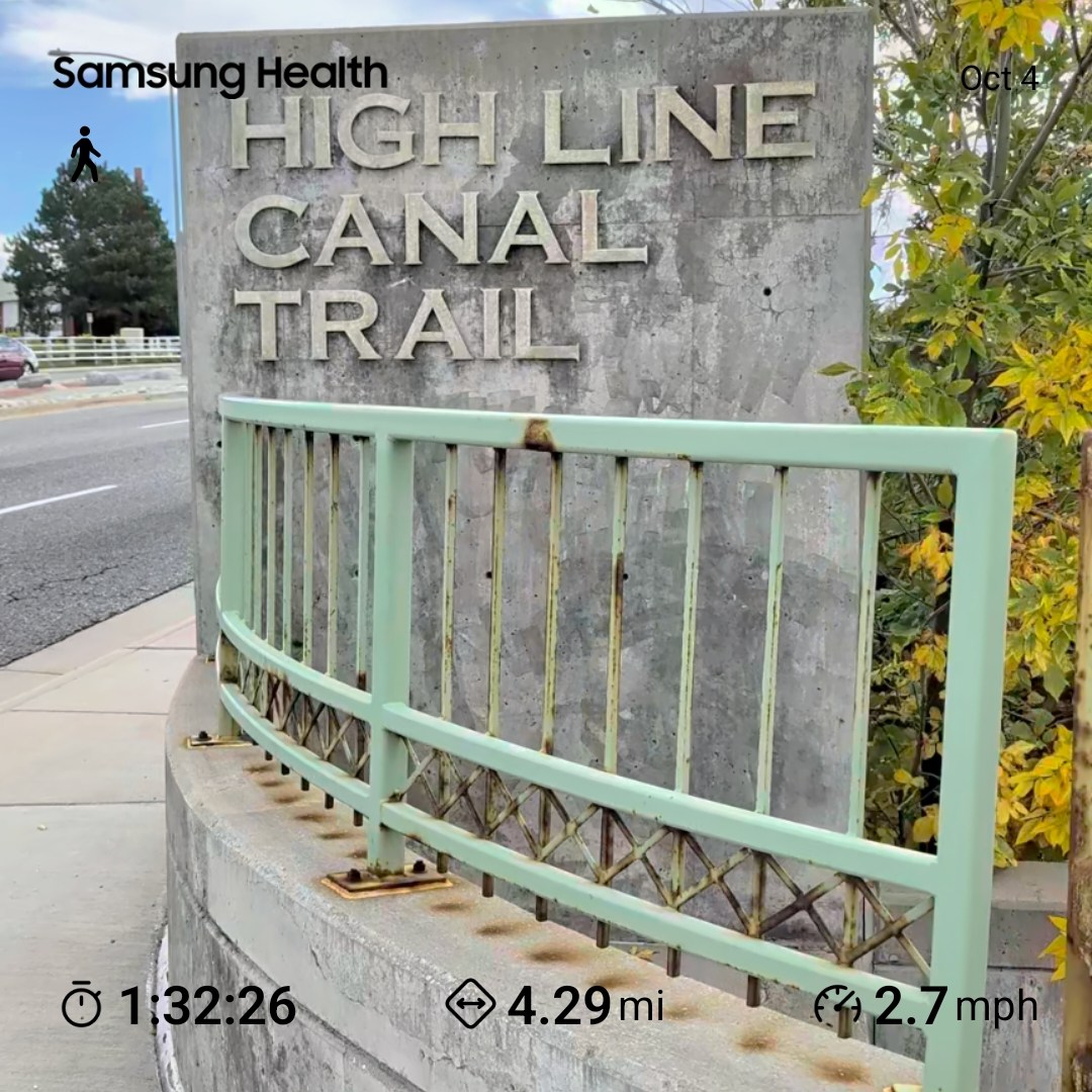
I Walked All 71 Miles of the High Line Canal Trail. Here’s What I Learned.
Oct 10, 2025, 1:36 PM | Updated: 1:40 pm
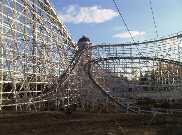
The High Line Canal Trail! At 71 miles it is one of the longest continuous urban trails in the country starting at Waterton Canyon near Chatfield Reservoir going all the way up to Green Valley Ranch right in front of the Gaylord Resort!
The High Line Canal itself was created in 1883 to help provide access to water for settlers and farms to settle in the area following the gold rush. Today it goes through 11 governmental jurisdictions, taking your through Chatfield, Littleton, Centennial, Cherry Hills Village, Aurora and Colorado cities and districts.
For years I (oh hi, I’m Big Mic) had walked several miles of the High Line Canal not thinking much of it in its entirety, but several signs on the route talk about its 71 miles in length and a month ago the idea popped in my head “Hey, I should walk all 71 miles!” What followed was a month worth or hikes ranging anywhere from just a couple miles to 5-7 at a time.
It was such a unique experience seeing so much of Colorado and getting to appreciate the diversity of communities and the vast amount of outdoor recreational areas we have access to here even in the city.
Now that I’ve completed all 71 miles, wanted to share some of my thoughts and share some tips should you want to become a “high liner” as well!
First off there should definitely be planning on your part. This isn’t a fully complete trail and there are portions of the trail where there are out & backs, especially at the beginning of the trail (if you begin at Waterton Canyon).
Also because of those out and backs and if you don’t want to waste miles walking BACK to your vehicle, having a partner with your hikes will pay off dividends if one person parks on one and, and you on the other so you can walk more miles knocking out the trail and just drive back to your starting point.
The first half of the trail I spent a lot of time just trying to push through and work fast, but there are so many beautiful views and scenery, I highly recommend you take a second to sit at one of the many benches and just appreciate what’s in front of you.
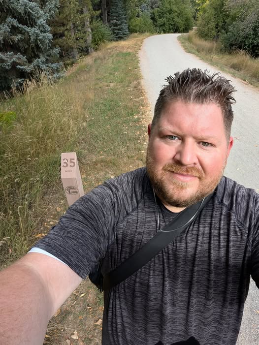
The first 61 miles of the High Line Canal trail was very well kept with plenty of signage and proper mile updates that coordinated with the digital trail map (which is a must when doing the trail), once you hit mile 62 though and cross Colfax things get a little more complicated to follow with several mile markers missing and without signs guiding you in the right direction. And as far as I can tell, Mile 69 is the last posted mile marker, and the last 2 miles are unmarked including the end of the trail, at least how its shown on the map.
I also came to have a special appreciation for everyone who helps keep the High Line Canal trail in working order, seeing many volunteers cleaning up and people working for the High Line Conservancy. I think we take for granted that the trails at our disposal need a lot of upkeep given the number of people using them.
Upon completing the High Line Canal trail and becoming a “high liner” you can actually get a 71-mile sticker from the High Line Canal Conservancy, and also with a $35 donation, you can receive a commemorative 71-mile medallion which I plan on purchasing!
I wrapped up most of my hikes with updates on some shots from my segments on my Instagram which would love for you to check out: Click Here
Here are also a few highlights!
View this post on Instagram
View this post on Instagram
View this post on Instagram